 Sv. 03
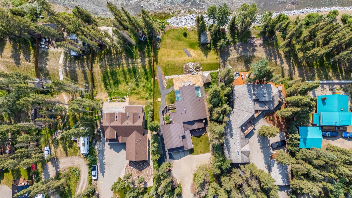
Aerial context answers the questions a floor plan can't — the lot, the aspect, the street, the distance to the ridge or the river. It's often what turns passing interest into a booked inspection.
We fly Transport Canada RPAS-certified on every job, capturing graded stills and 4K clips, with optional boundary and location overlays for development and acreage listings.
- Aerial stills 5–12 frames
- Aerial film clips graded 4K
- Boundary & location overlays optional
- Transport Canada RPAS-certified always